 Civil
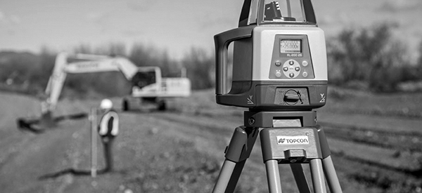
Civil Surveying
 Municipal
 Water
Water Infrastructure
Surveying + GIS
Put it on the map to save time and money
We help people, communities, and businesses plot and mark their property, define land for agreements, control construction, and organize complex facility data.
- IMPROVE UNDERSTANDING
- MAKE BETTER DECISIONS
- ACCESS DATA AND RECORDS
- Boundary
- Alta
- Topography
- Construction
- Easement
- Permits
- As-Built
- Asset Inventory
- GIS Mapping
- Analysis
- Field Apps
- Roadway GIS
- Utility GIS
- Facility GIS
MG2A helps you map, record and access important information, assemble agreements and applications, and define construction site geometry.